| My Experience | |
|---|---|
| Number of Visits | 5 |
| Length of Stay | 3 Hours – 2 Days |
| My Favorite Spots | White Oak Canyon Bearfence Mountain Dark Hollow Falls Doyles River Falls Skyline Drive |
| Expenditures | Hotel: Not Recorded Flight: Not Recorded Rental Car: Not Recorded Food: Not Recorded |
| Miles Hiked | ~35 |
| # of Photos Taken | Not Recorded |
The Trip Overall
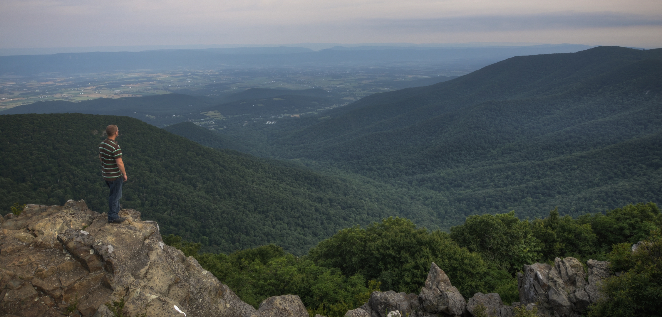
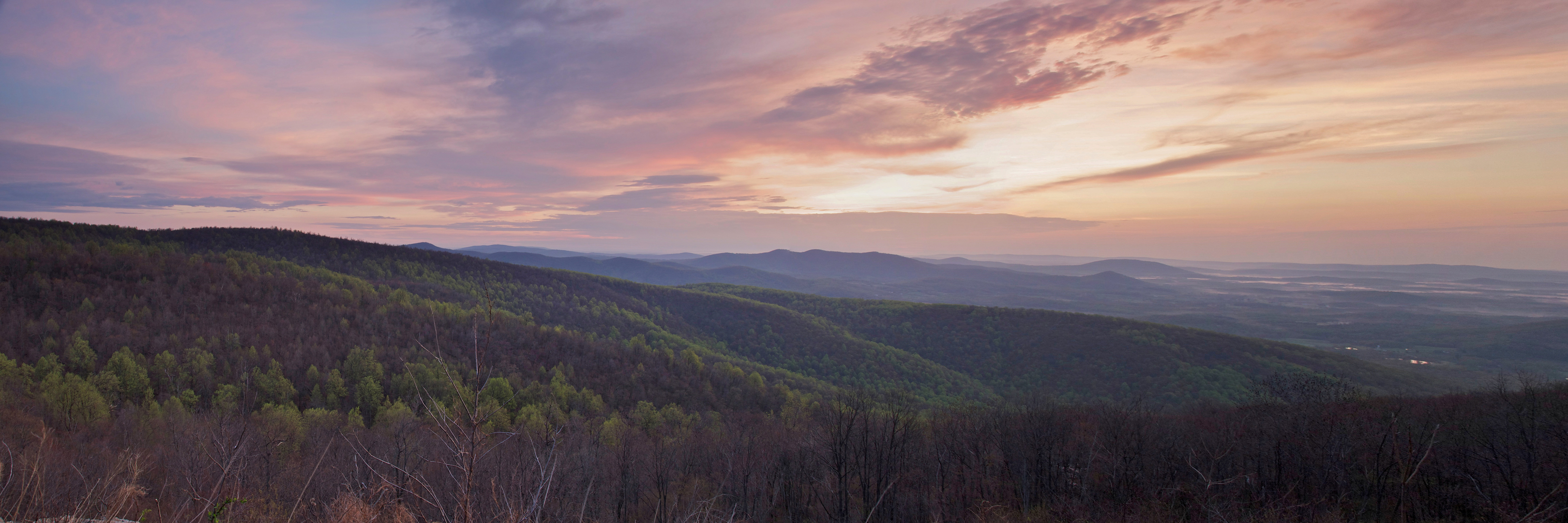
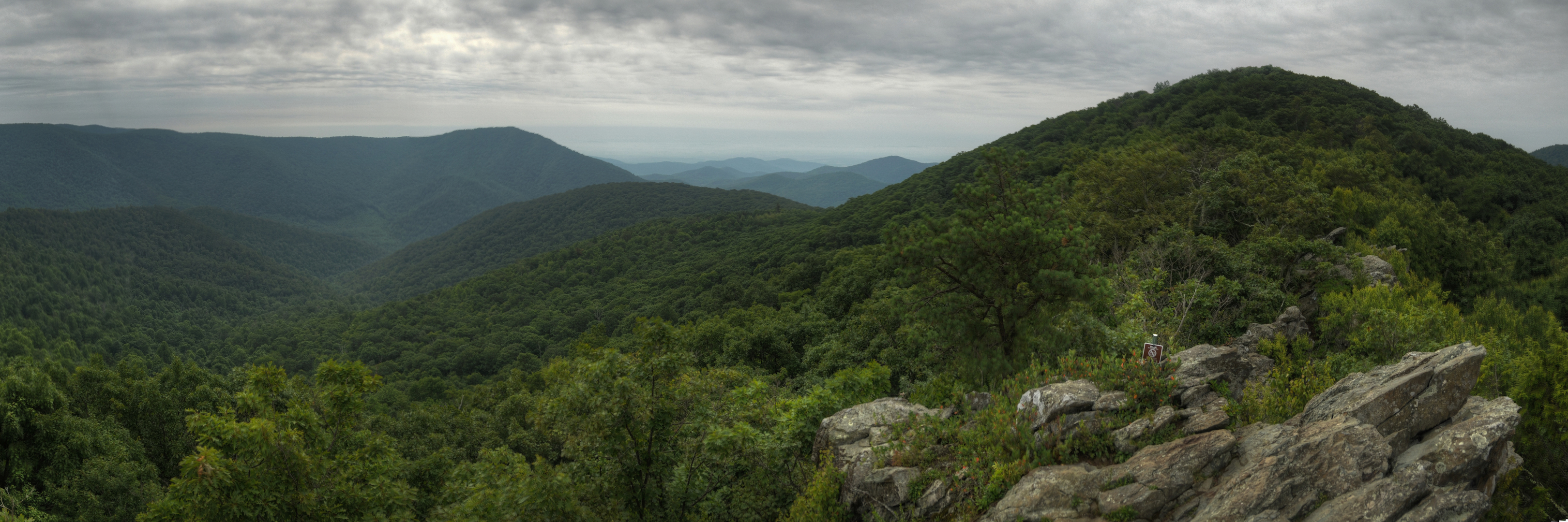
Shenandoah is the park in my backyard. Well, an hour and a half away, but it’s the park I’ve been to the most times and have had the most varied experience with. I’ve had the most basic experience, a drive down Skyline Drive, and one of the most intense, hiking Old Rag. I’ve been there in three out of four seasons, all but Winter. It is a great mix of scenic overlooks, waterfalls, wildlife, and hiking trails. It’s also one of the best places in the country to experience Fall color. That fact isn’t lost on people either, as visitation peaks in October.
I’m sure there will be many additions to this post going forward. There is still so much I haven’t done. Over the next couple decades, I hope to accomplish everything there is to do in the park. With that said, it still isn’t my favorite park, or even in the Top 5. Read on to see why.
The Map
Shenandoah runs along a mountain ridge in the Appalachians, so it is a long and narrow park. Skyline Drive, the park’s main road, runs right along the ridge. The closest piece of it is only an hour and a half drive from my front door, but the far end is nearly four hours away. It is separated into North, Central, and South Districts. I have spent the most time in the Central District.
[googlemaps https://www.google.com/maps/d/embed?mid=zqY-hEQcTB9Y.keO10PCfT6k8&w=1200&h=600]
Click on the camera icons to see a photo, a location name, and coordinates for the closest parking area. I also show park entrances, visitor centers, the hotel(s) where I stayed, hiking trails, and airports.
Visitor Statistics
As I mentioned in the intro, I’ve been to the park in several different parts of the year; April, July, and October. Of course, visitation spikes in October to see the leaves changing color, there is plenty to see the rest of the year. The park is large and there are a lot of hiking paths so it’s not difficult to get away from crowds, though you might have to hike a ways to find your solitude.
This graph shows the average number of visitors each month. Hover over the line to see values for each month. NOTE: Even though the X-axis reads “2000,” these are monthly averages from the most recent 5-year period. The “2000” should be ignored.
The Climate
Living close to Shenandoah, I’ve managed to cherry-pick times of decent weather. I’ve experienced hot and humid, but not very cold weather or rainy. Skyline Drive shuts down all the time because of snowfall, but I haven’t been out there in the Winter yet.
This graph shows average temperature and precipitation by month. Hover over the line to see values for each month. You can select different variables and parks in the panel on the left. NOTE: Even though the X-axis reads “2000,” these are monthly averages of NOAA weather data dating as far back as the early 1900’s. The “2000” should be ignored.
Logistics
| NPS Survey Findings(1) | |
|---|---|
| % Visiting for First Time | 45% |
| % Staying More than 24 Hours | 27% |
| Average Length of Stay | 1 Day |
| Top 5 Attractions | Big Meadows (60%) Skyland Area (50%) Front Royal (41%) Thorton Gap (38%) Swift Run Gap (32%) |
| Average Expenditures | Not Reported |
| (1) Visitor Survey Project Report Shenandoah National Park 2011 | |
Lodging
On most of my visits to the park, I have only made day trips. I have stayed around the park on two occasions though. Once I stayed in the park at the Big Meadows Lodge and the Skyland Resort. Both of them were reasonably priced. They are basic rooms, without TVs but with their own bathrooms. That was good enough for me. Another time, I stayed just outside the park at an AirBnB place. It was a large house with full kitchen, 3 bedrooms, and a large porch.
Food
Being frugal, I’ve almost always brought food with me to the park. I’ve purchased drinks and a sandwich at the restaurant at Big Meadows.
My First Experience (Skyline Drive – April 2011)
I kept things simply for my first trip to the park. I just drove Skyline Drive from Front Royal to Big Meadows and back stopping at overlooks and snapping pictures. I left for the park at 4 a.m. so I could capture the sunrise and managed to get to one of the first overlooks in the North District just as it came up.
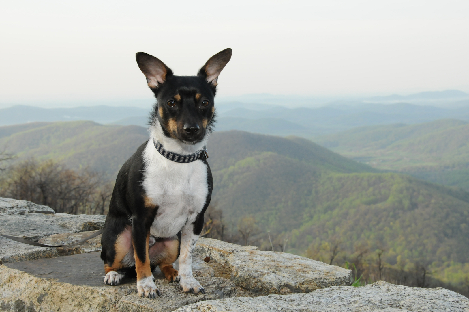
I brought my dog with me on this trip. Shenandoah is known for it’s dog friendliness.
There were very few people that morning. It was Easter Sunday. I got my sunrise photos and got my feet wet with the park, which is all I wanted to accomplish on that trip so I was back at home by noon.
My Second Experience (White Oak Canyon – October 2011)
After that first experience with the park, I knew I had to go back in the Fall. Closely examining some online photos convinced me to go in October and hike the White Oak Trail. Once again, I set out long before sunrise. I knew the trail, which is hemmed in by trees, was not going to be a good spot for sunrise so I stopped in Washington, VA to catch what little color there was that morning. Despite stopping, I was still the first person to the trailhead.
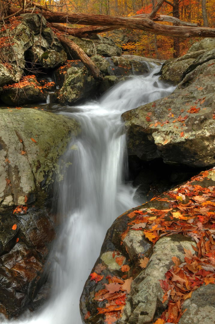
I spent a couple hours hiking the trail from the trailhead to Upper White Oak Falls (above left). I caught the leaves right around peak that year so was treated to some spectacular scenes. By the time I left, the parking lot was full.
My Third Experience (Dark Hollow Falls & Rose River Trails – April 2012)
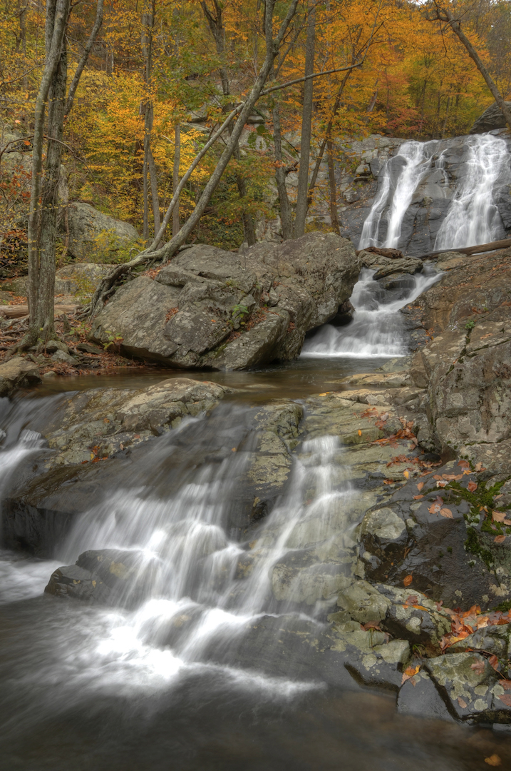
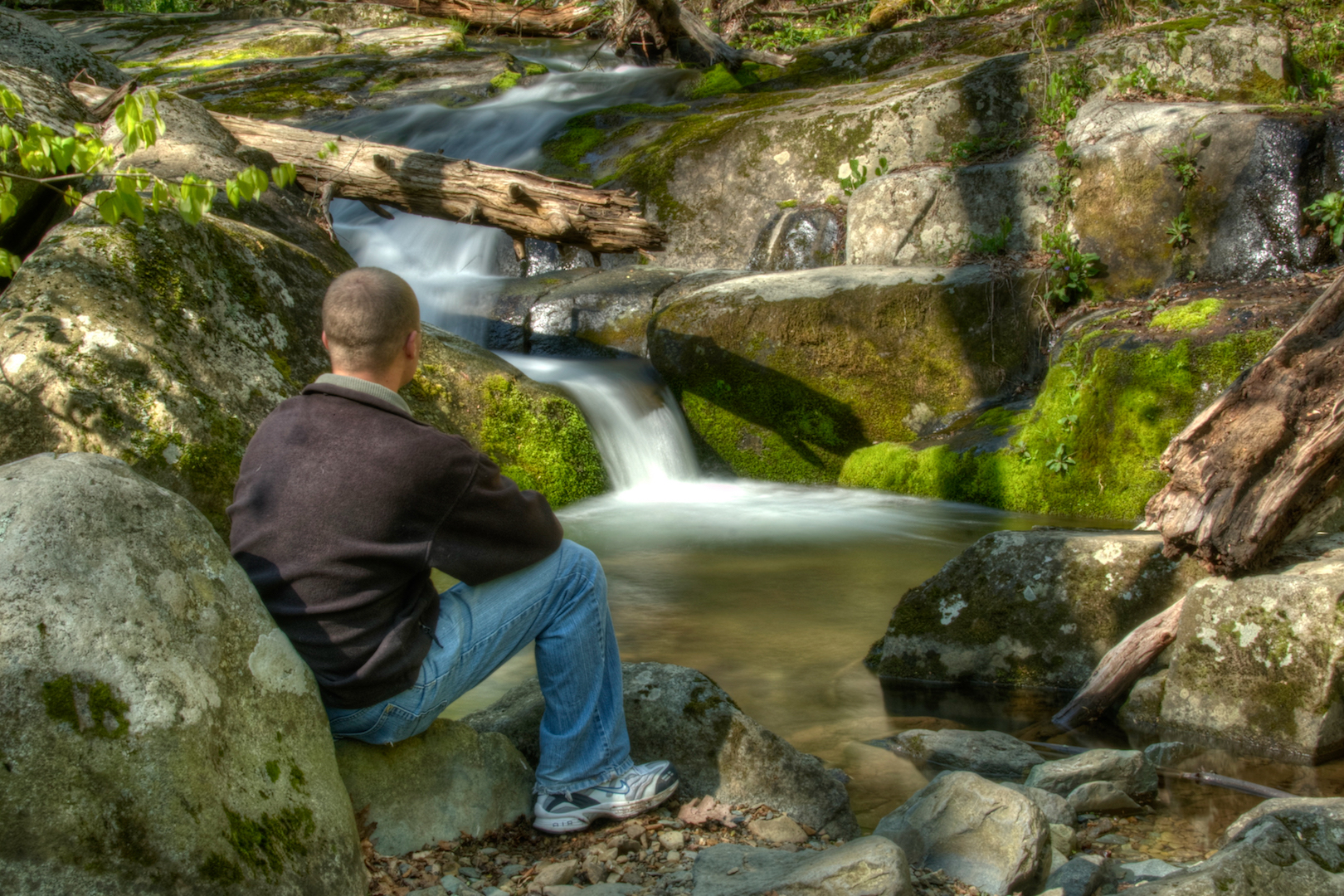
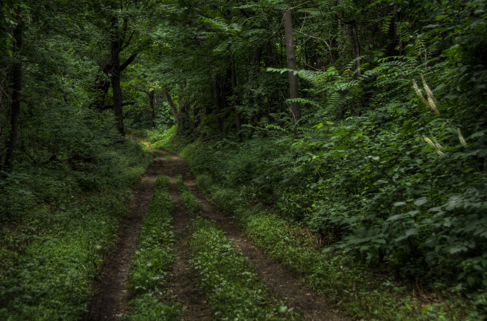
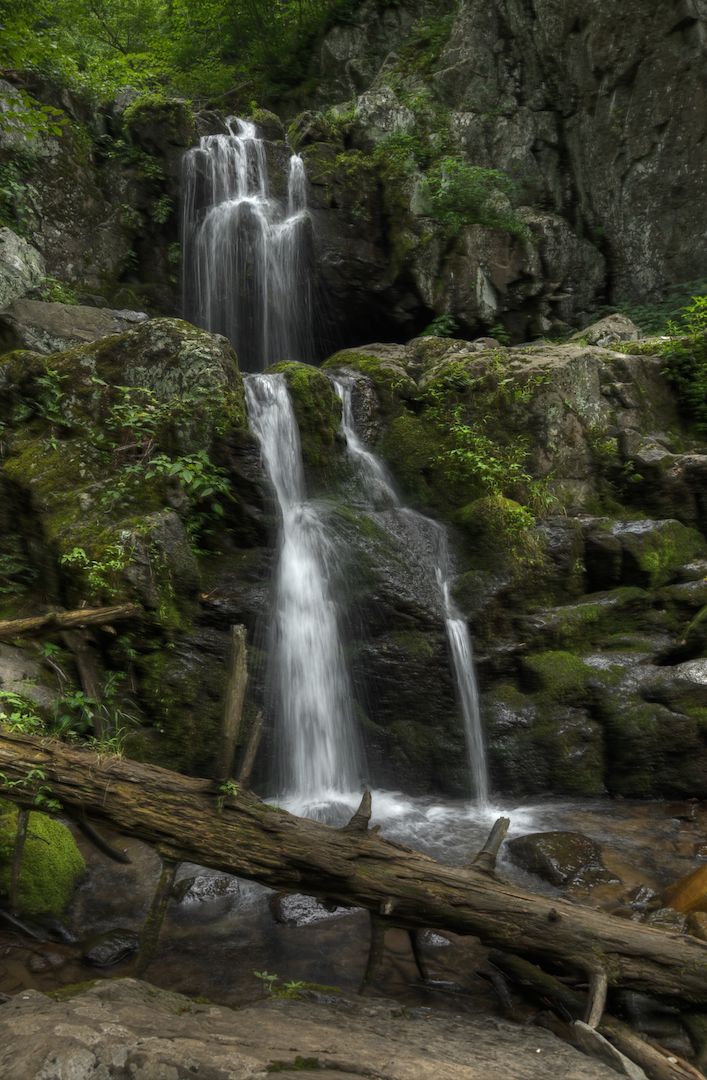
During National Park Week, I took a day off of work to hike a trail. I left early, but not for sunset, so that I could avoid DC traffic. I hiked the four mile loop of the Dark Hollow Falls and Rose River Trail. I spent about 2.5 hours walking the trail, stopping occasionally to take photos. The walk down to Dark Hollow Falls only takes a couple minutes. It is a steep, downhill grade. It was on this hike that I discovered one of the interesting aspects of hiking in Shenandoah. Many of the hikes start from Skyline Drive. They go down and then back up; the opposite of how I’m used to hikes going. After you’ve hiked for awhile and are tired, you then have to make your way back uphill. Dark Hollow Falls was amazing. Rose River Falls was nothing special, but it would probably be better after a rainfall or snowmelt.
My Fourth Experience (A Two Day Adventure – July 2014)
After four years of living close to the park and two years of trekking long distances to visit national parks, I decided it was finally time I spend a night in the park down the road. I thought about camping, but priced out the cabins and found them reasonable. I booked the whole trip only a couple weeks ahead of time. It probably would have been difficult to do in the Fall, but the middle of Summer wasn’t bad at all. I wanted to try out a couple different things so I booked the Big Meadows Lodge and a cabin at Skyland Resort. Both are in the park’s Central District and near several great trails.
Day 1
I started out early again and drove straight to the Hawksbill Mountain Trail (PDF Map). I arrived about an hour after sunrise. I hiked the 0.75 mile Lower Hawksbill Trail to the summit and enjoyed an amazing view. The trail is short but a steep upward slope. I didn’t want to go back down the same way I’d come so I followed the Salamander Trail down the backside of the mountain and then followed the Appalachian Trail back to the parking area.

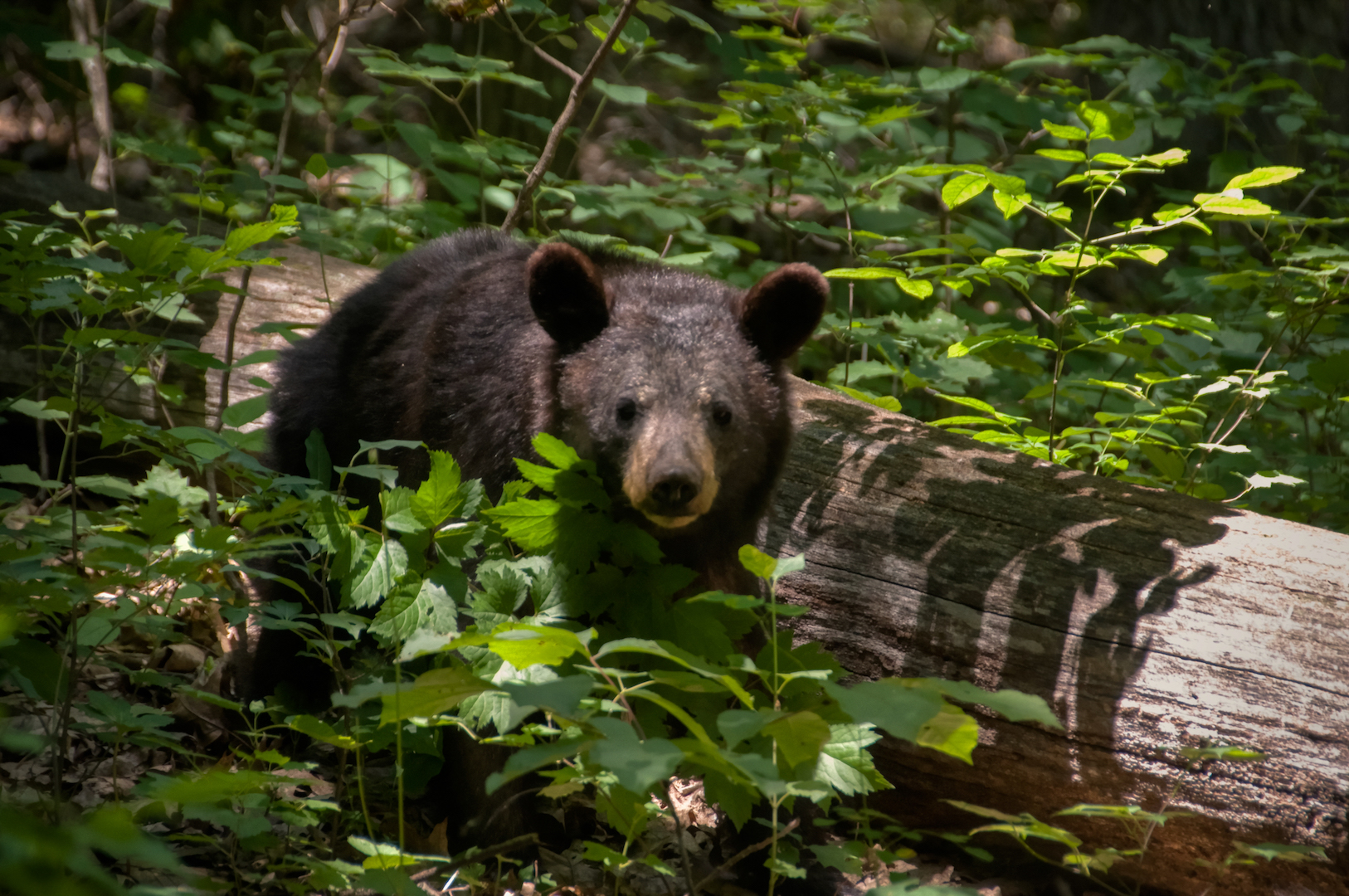
I couldn’t resist the pull of doing what I know. The light wasn’t great for photos, and I wanted to hike for the sake of hiking so I went back to the Dark Hollow Falls (below left) and Rose River Trails. I hiked the four mile circuit again. This time I had the unexpected surprise of seeing bears; seven of them. At one point along the Rose River Trail I saw a mother black bear and two cubs cross the trail. A bit further down, I saw a lone bear digging around near the trail. He eventually ran off when people started to gather. Finally, as I was walking the stretch along Skyline Drive from the Rose River Trailhead back to the Dark Hollow Falls Trailhead where my car was parked, I saw another mother and two cubs; this time from quite a distance away. That was enough hiking for one day. I checked into my lodge at Big Meadows, had dinner at a diner there and was dozing off around sunset.
Day 2
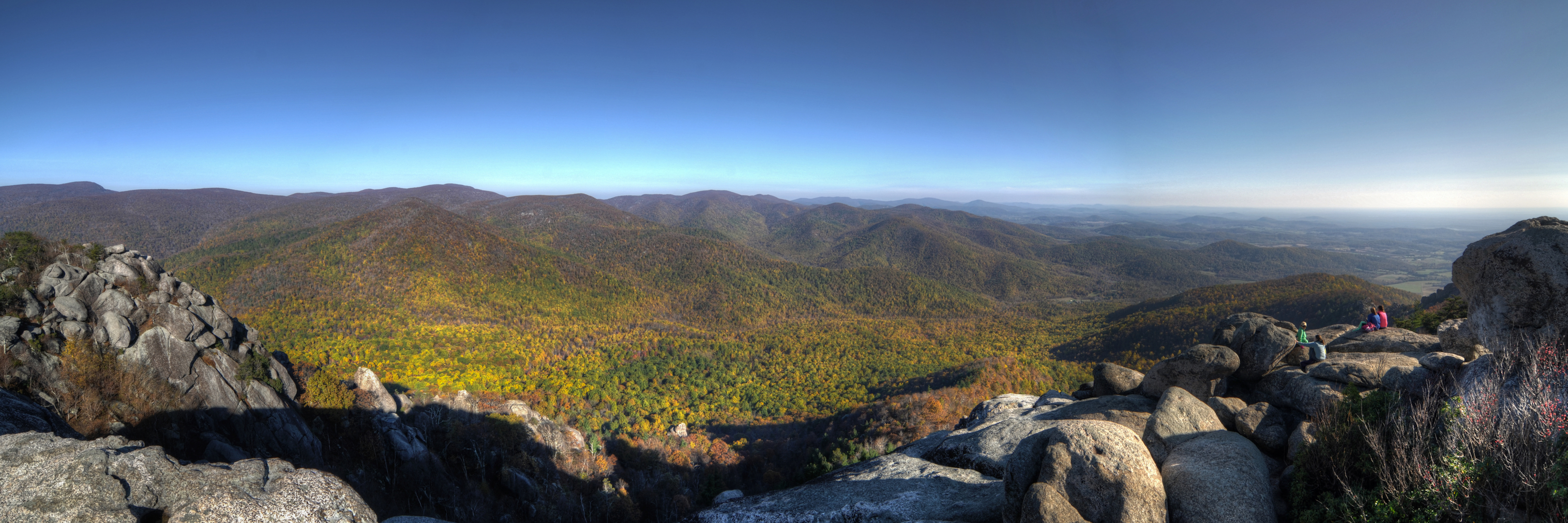
The next morning, I gathered up my things and headed south along Skyline Drive to Bearfence Mountain (PDF Map). This is a short circuit path (only about a half mile) with a rock scramble that has you climbing and sliding from boulder to boulder. The view from the top is magnificent. You have a 360 degree view of the mountains.
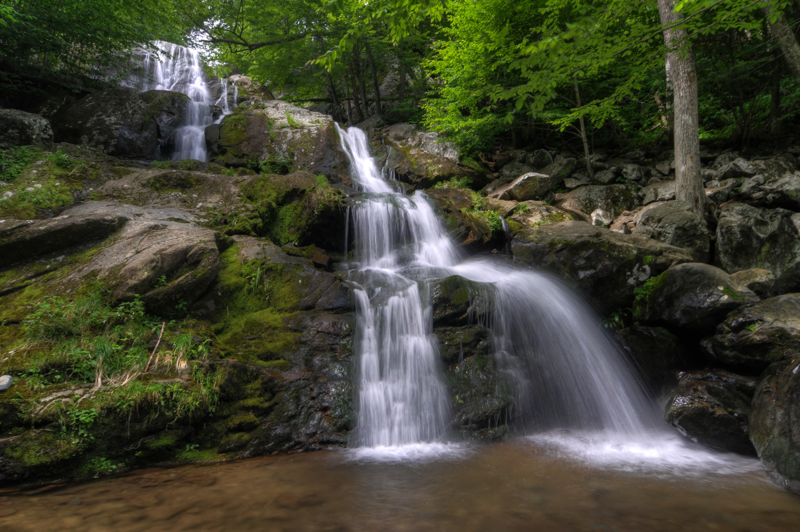
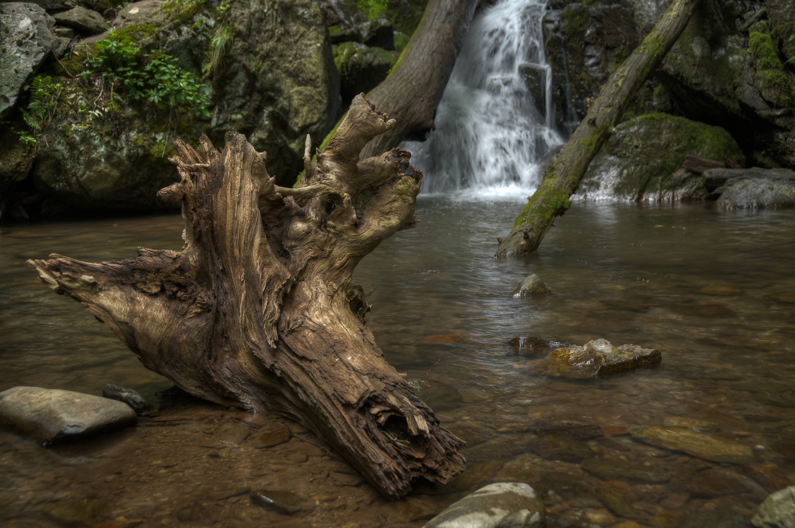
After that, I kept going south to the Jones Run and Doyles River Falls Trails (PDF Map). From the Jones Run Trailhead, I hiked the circuit counter-clockwise. By the time I reached the Upper Doyles River Falls (below right), I was ready to head back, so I walked along the Brown’s Gap Fire Road (below left) to where it connects to the Appalachian Trail, and then back to my car.
After that, I was done for the day. I headed back to the Skyland Resort and checked into my cabin. I don’t remember what I did for sunset or the next morning. I don’t have any pictures to remind me. I must have just relaxed, slept, woke up, and went home.
My Fifth Experience (Old Rag – October 2014)
A friend of mine who leads a hiking group wanted to scout out the Old Rag trail before bringing the group. So we went down to check it out. I was grateful to not have to do any planning. I just had to show up and hike. Hiking Old Rag (NPS Info) is one of those experiences you have to do if you spend a significant amount of time in the park. It is an intense hike and the view isn’t exactly spectacular, but it is rewarding in terms of stories and the shared experience.
Day 1
We didn’t get into the park on the first day. We just drove down to the place we were staying and hung out there. It was in a cool area with an abandoned barn, so I played around with taking photos there.


Day 2
The next morning we woke up early and got to the Old Rag parking area about an hour after sunrise. It was already very busy by then. There were dozens, maybe close to 100 cars by then. Old Rag draws a lot of people, especially in October. There is a large lot that is kept organized by volunteers. From there, you have to walk 0.8 miles to get to the trailhead. We hiked the Ridge Trail to the summit. The Ridge Trail is the most strenuous/adventurous part of the hike. You have to scramble across boulders, squeeze through gaps between rocks, and duck through tunnels. The payoff of reaching the summit is worth it though. We then hiked the Saddle Trail down to the Weakley Hollow Fire Road and followed that back to the parking area. The way back down is longer, but more leisurely. If you’re not sure you have it in you to climb and squeeze, this is a good alternative.
The whole circuit is about 10 miles. Though there aren’t rules about it, I would suggest (and the NPS would suggest) hiking the circuit the way we did, in a clockwise fashion. On the way up the Ridge Trail, we met some hikers coming down that way and it really slowed things up. If you can, hiking the full circuit will keep the traffic flowing smoothly.
What I Would Do Differently
There are still plenty of trails to hike in the park. I plan on making it back again and again, as long as I live in the DC area. I plan to make it back for Fall color and to track down some of the more elusive waterfalls. As I do that, I’ll be sure to add to this post and to the map.
The One Shot
When I first realized how close Shenandoah is, the thing that most captivated my attention was Fall color. I love Fall anyways, and growing up in the Midwest I had always heard that the best places to experience Fall are in the Appalachians. I intimidated myself out of it my first two years in the area, but finally made the trip in 2012.

Other Resources
- Shenandoah National Park on NPS.gov – Get information straight from the people who know best.
- My Shenandoah National Park Gallery on Flickr – A collection of my photos from this trip on Flickr.
- My Shenandoah National Park Pinterest Board – My collection of other people’s photography from this park.
- My Other National Park Galleries on Flickr – A collection of all my National Park Galleries. I’m planning on building this collection as I visit new parks, so check back.
Useful Tools
- The Photographer’s Ephemeris – TPE allows you to drop a pin on a Google map and see not only the sunrise/sunset and moonrise/moonset times but also the direction the sun and moon will rise and set.
If you have any questions or comments about this article, let me know using my Contact page.
Pingback: Photographing Fall Colors around Washington, DC | brandonkopp.com